Site Survey


Drone Site Surveys – Fast, Accurate Land Intelligence.
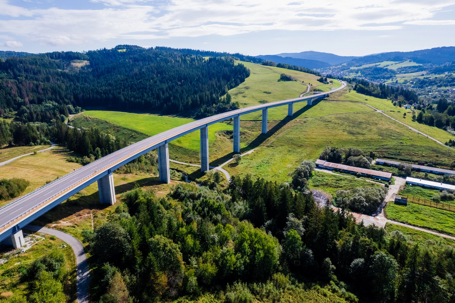
Orthomosaic mapping, 3‑D terrain models and high‑resolution progress imagery delivered anywhere in Scotland within 48 hours.

Why a Drone Site Survey?
Full visibility in a fraction of the time
Cover up to 50 ha per flight and receive centimetre‑level detail without boots on the ground.
Actionable data, not just pictures
Receive geo‑referenced orthomosaics, digital surface models (DSM/DTM) and cut‑fill volume calculations ready for CAD or BIM.
Zero disruption
No road closures, scaffolding or safety hazards—flights are planned and executed by CAA‑licensed pilots with public‑liability cover.
What You Get
| Deliverable | Format | Typical Turnaround |
|---|---|---|
| Orthomosaic map | GeoTIFF | 24 h |
| 3D terrain model | OBJ / LAS or online viewer | 48 h |
| Volume & area report | PDF + CSV | 48 h |
| Progress imagery | JPG / MP4 | Same day |
Ideal For
- Construction & civil engineering
- Land acquisition & due diligence
- Environmental monitoring
- Infrastructure maintenance
Ready to map your site?
Book a discovery call and get a fixed‑price proposal within one business day.

Site Survey with Drone – Fast, Accurate, and Hassle-Free
A site survey is all about understanding the land before making big decisions. With our drone technology, you can assess an entire area from above — in minutes, not days.
Whether you’re a builder, architect, developer or landowner, our aerial surveys help you:
- Measure and map terrain with precision
- Spot obstacles or elevation changes early
- Track project progress from start to finish
- Plan smarter with up-to-date visual data
No need for scaffolding, boots on the ground or slow manual work. Just fast, clear results — delivered safely from the sky.
Contact Us
Let’s Talk About Your Project
Have a question, need a quote or just want to explore what’s possible from the air? We’re here to help. Fill in the form or use the contact details below and we’ll get back to you shortly.
Phone Number
Address
Glasgow / Edinburgh – Serving Central & Northern Scotland